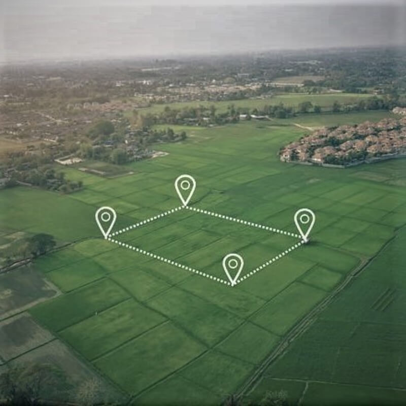
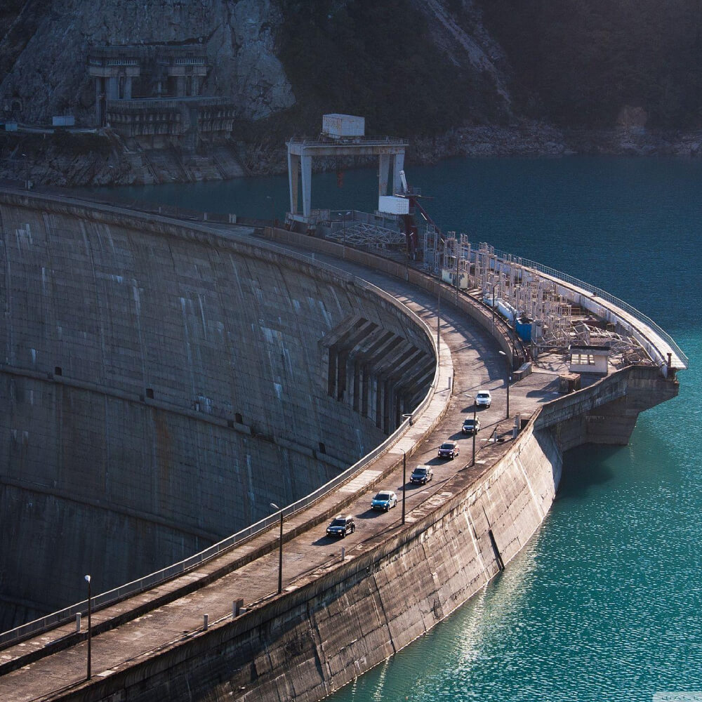
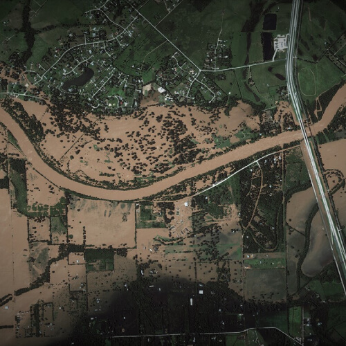
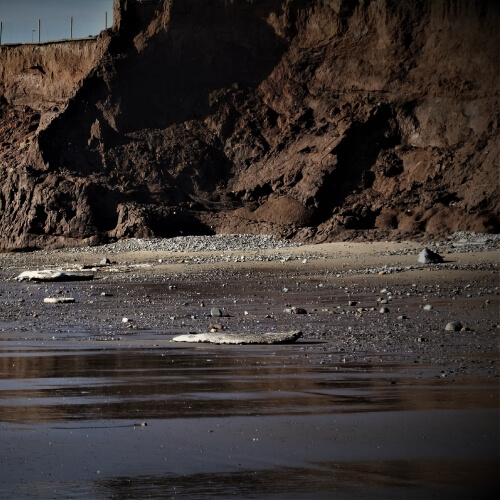
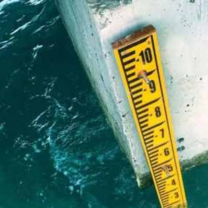
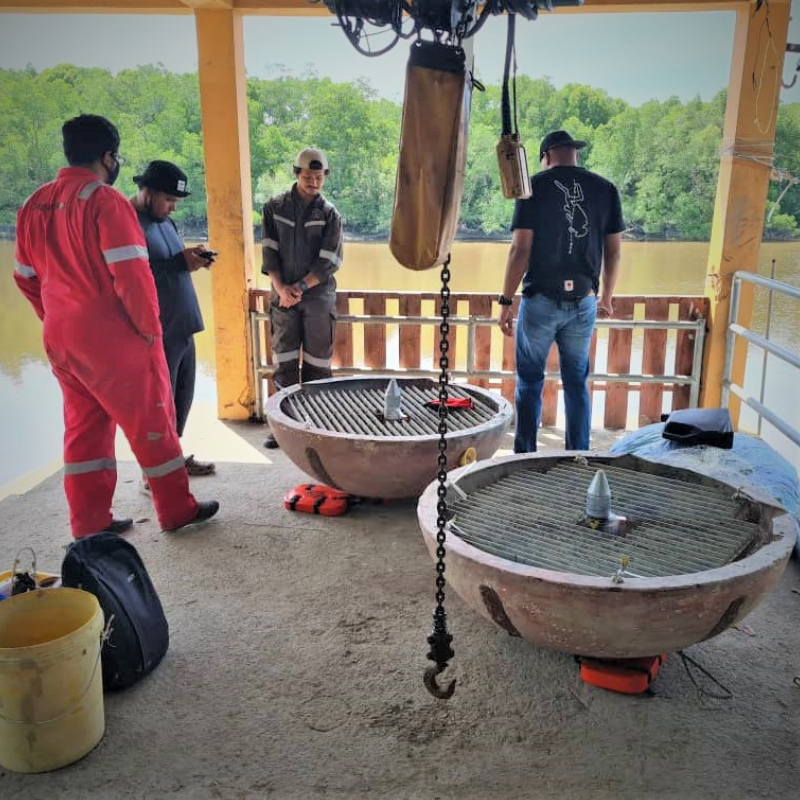
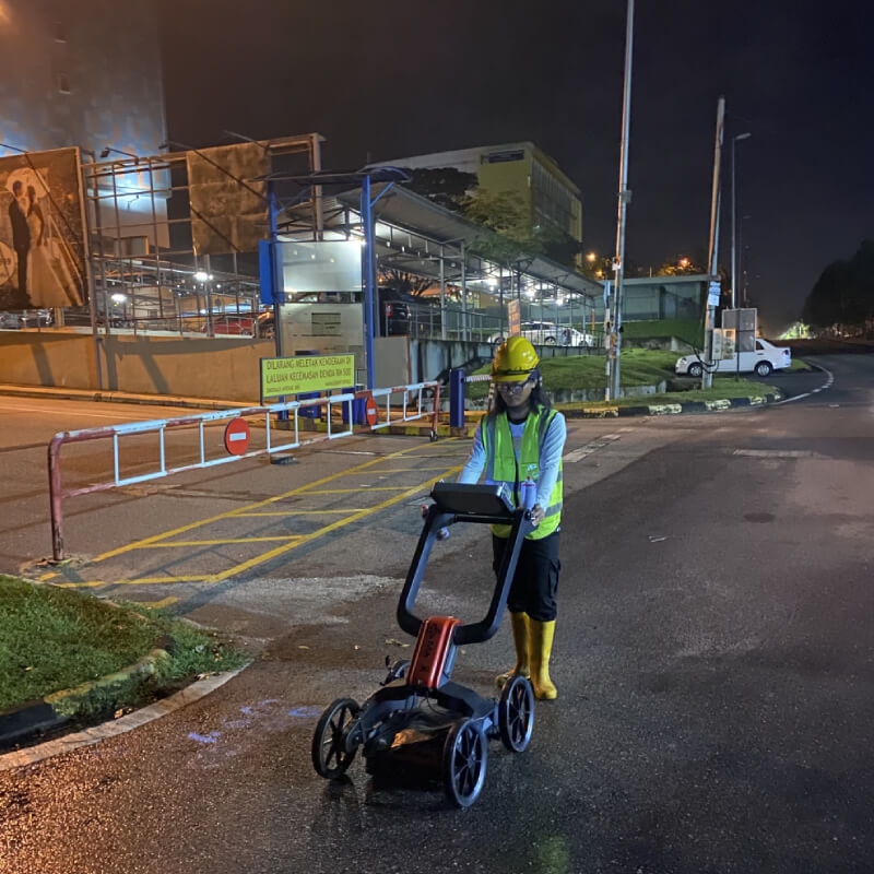
Our Services We provide various land survey services and consultancy to bring success in your next project Survey and Mapping Services Land Development Consultation Land and Strata Title Survey Engineering Survey Hydrographic Survey Underground Utility Detection Survey Aerial Mapping and LiDAR Survey Geographic Information Systems (GIS) Land Development Consultation Land Alienation Subdivision Partition Surrender and Re-Alienation Amalgamation Demarcation Right-Of-Way (R.O.W) Gazette Topography and Detail Survey Monitoring Survey Setting Out As-built Survey Strip Survey Cross-sectional Survey Survey Design for Flood Mitigation Plans Coastal Erosion Survey and Monitoring Seabed Profiling Port and Harbour Construction Tide Gauge Installation Current Flow and Water Level Measurement Tidal Observation and Analysis Underground Utility Detection Survey Aerial Mapping and LiDAR Survey Geographic Information Systems (GIS)